gCAP Limited
Instrument Flight Procedure Design
gCAP home clients prices
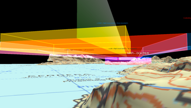
3D Viewer
A proprietary 2D system which overlays surveyed obstacle data, waypoints and protection areas onto suitable mapping, and also integrates DTM data for speed and accuracy.
© OpenStreetMap contributors, CC-BY-SA
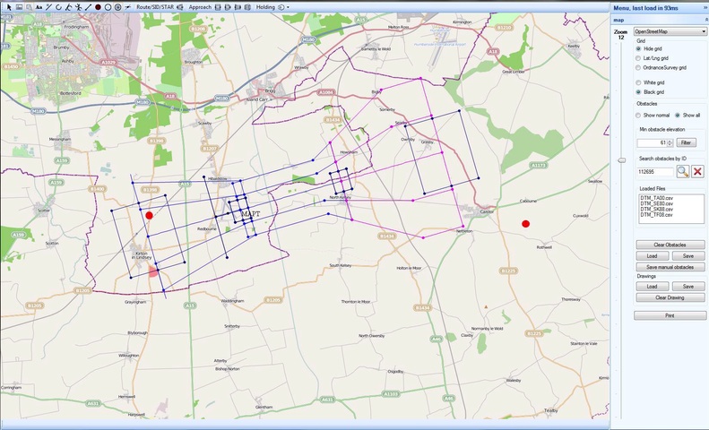
Mercator
A proprietary 2D system which overlays surveyed obstacle data, waypoints and protection areas onto suitable mapping, and also integrates DTM data for speed and accuracy.
© OpenStreetMap contributors, CC-BY-SA
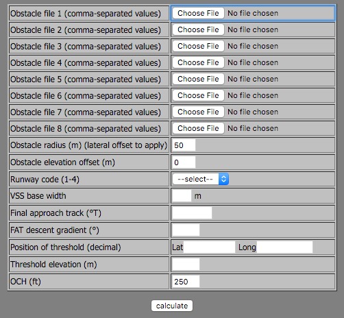
Web scripts
gCAP uses proprietary web-based scripts to upload and interrogate obstacle files and Digital Terrain Models, so we are thus able to evaluate the OCA for a straightforward approach and go around within minutes, without any drawing. Scripts include VSS, Baro-VNAV, ILS, APV and LNAV.